Illustrative image
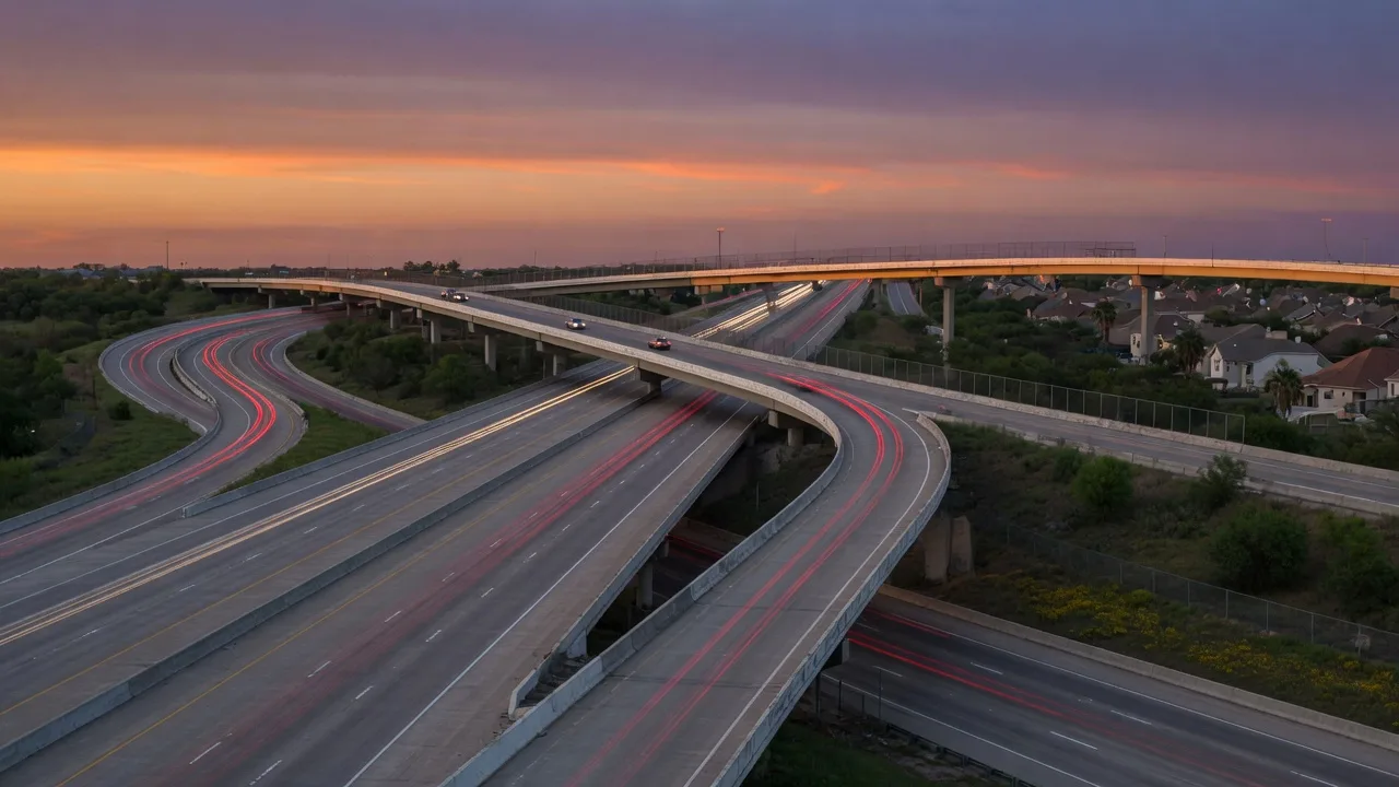
Katy's position in the metro is its superpower: it hugs the I-10 corridor, meets the Grand Parkway at its doorstep, and opens onto the Westpark Tollway for the Energy Corridor and Uptown. The times below are approximate and vary by neighborhood and hour of day, but they are the honest planning numbers for the region.
Illustrative image
The main I-10 corridor into west Houston, with the I-10 Katy Managed Lanes toll/HOV option for faster peak-hour runs.
The outer ring road that intersects I-10 at Katy and arcs around the metro, linking Katy to Cypress, Tomball and down to Sugar Land.
A tolled east-west route south of and parallel to I-10, operated by the Fort Bend County Toll Road Authority (Fort Bend Westpark) and the Harris County Toll Road Authority, running toward Uptown and the Galleria.
The local west-Katy spine that connects Cinco Ranch, the FM 1093 corridor communities and the Grand Parkway.
Approximate distances and drive times from the Katy area (Cinco Ranch to Old Katy). Peak and off-peak figures are typical free-flow versus rush-hour estimates, reviewed against public commute guides in September 2026. Your route and ZIP will shift them; test your actual door-to-door before committing.
| Destination | Distance | Peak drive | Off-peak | |
|---|---|---|---|---|
| Energy Corridor | About 13 miles | About 20 min | About 17 min | Katy is literally the bedroom community of the Energy Corridor. |
| Uptown / Galleria | About 24-26 miles | 35-45 min typical | About 30 min | Often via the Westpark Tollway. |
| Downtown Houston | About 30 miles | About 42 min | About 32 min | Via I-10 east. |
| George Bush Intercontinental (IAH) | About 44 miles | About 55 min | About 44 min | Via SH 99 north or Beltway 8. |
| William P. Hobby (HOU) | About 38 miles | About 54 min | About 43 min | Via I-10 and the South Loop / 45. |
The workplace connection
A huge share of Katy commutes never leave the west side: the Energy Corridor, the office corridor along I-10 and Eldridge around Memorial Park, is only about 13 miles from Katy and roughly 20 minutes in typical traffic. That job density, from energy companies to their vendors, is a large part of why Katy's housing market is so deep.
For everyone else, the toll network is part of the deal. A TxTag or EZ TAG-style transponder makes the Katy Managed Lanes and both toll authorities seamless; many residents simply fold tolls into their monthly commute budget. Downtown Houston is a straight I-10 run, and both airports are reachable without crossing the downtown core.
Illustrative image
Airports at a glance
Commute fit is a buying criterion
Carol asks every buyer where they work before she shows homes. Tell her your office and your tolerance for tolls, and she will steer you to the right side of Katy.
Your work address plus your budget is enough to start.